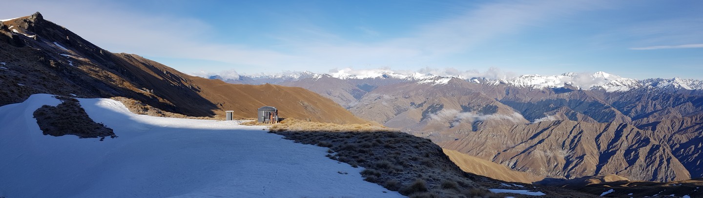
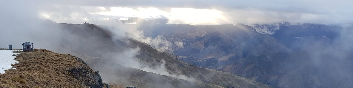
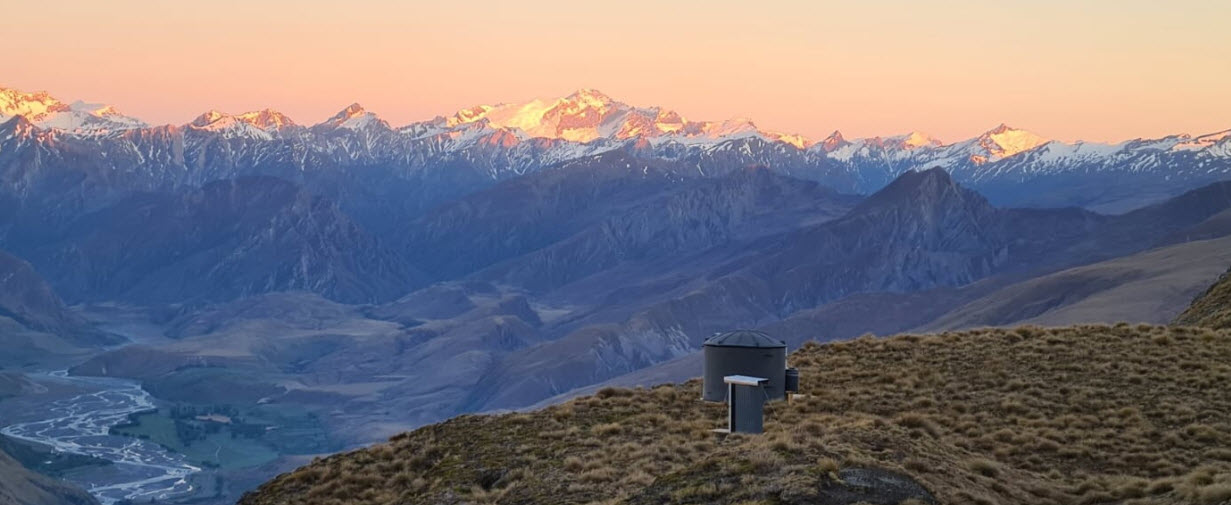
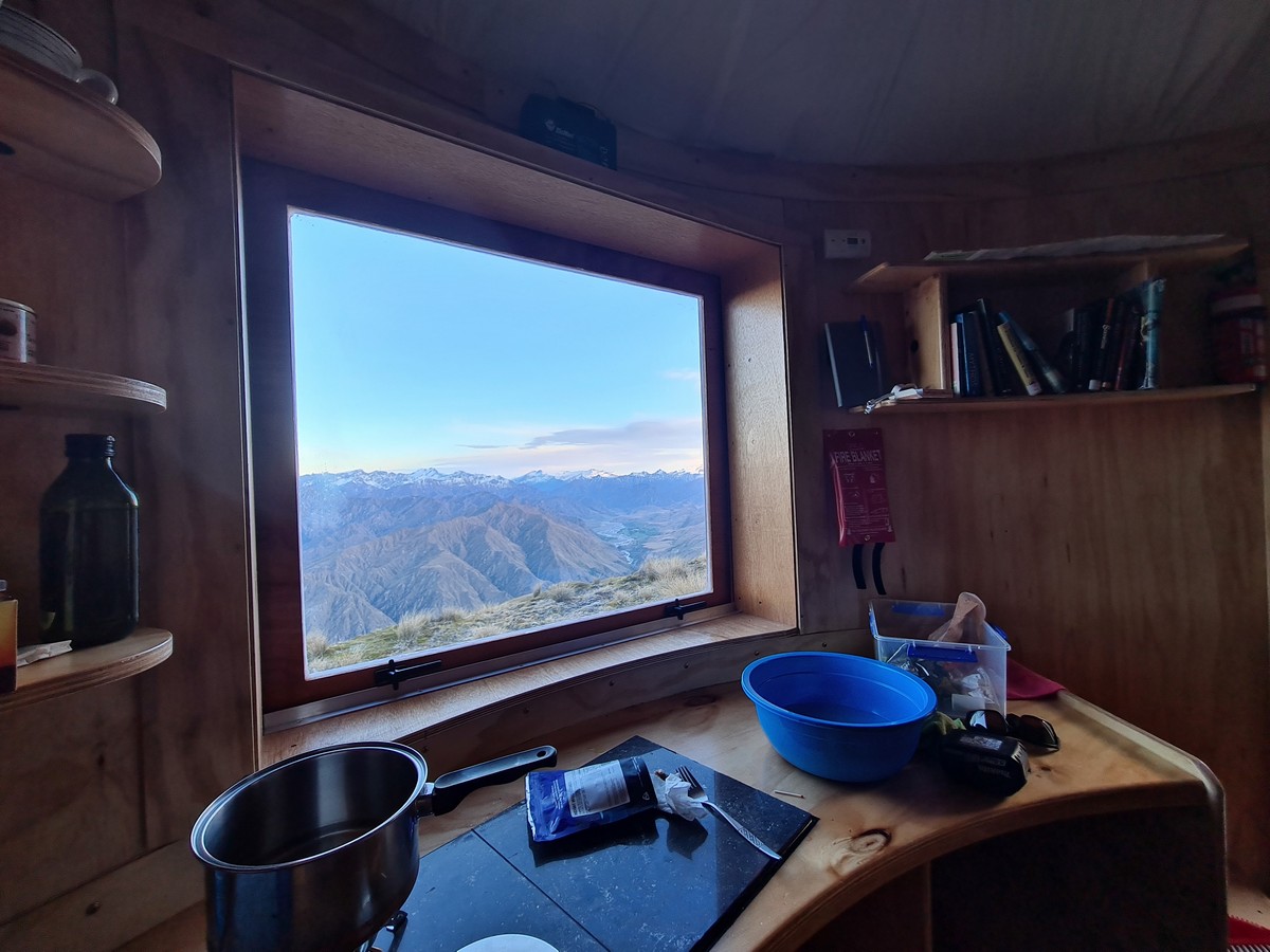
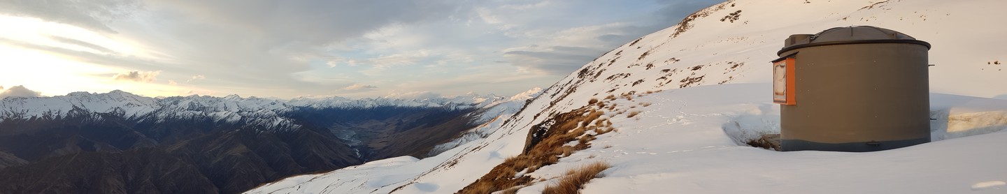
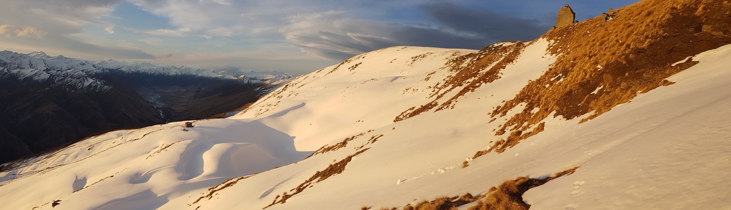
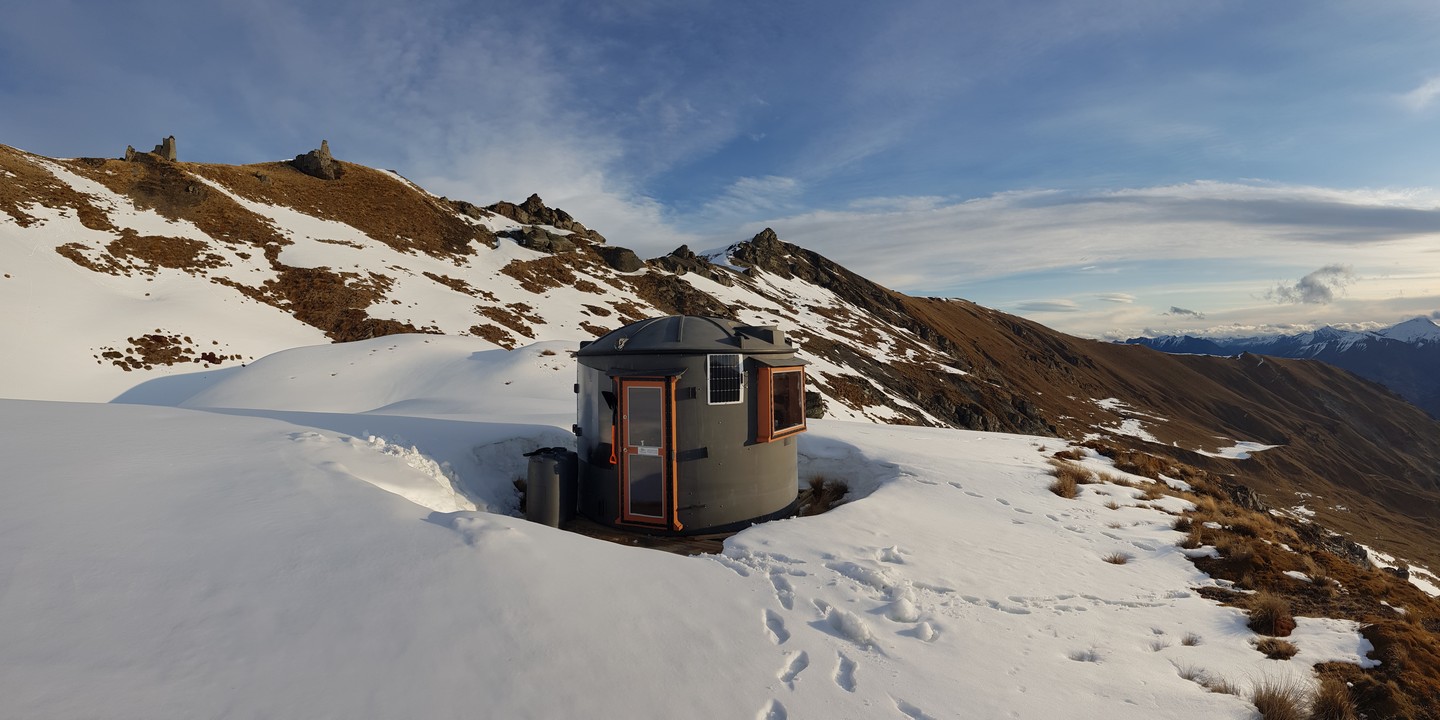
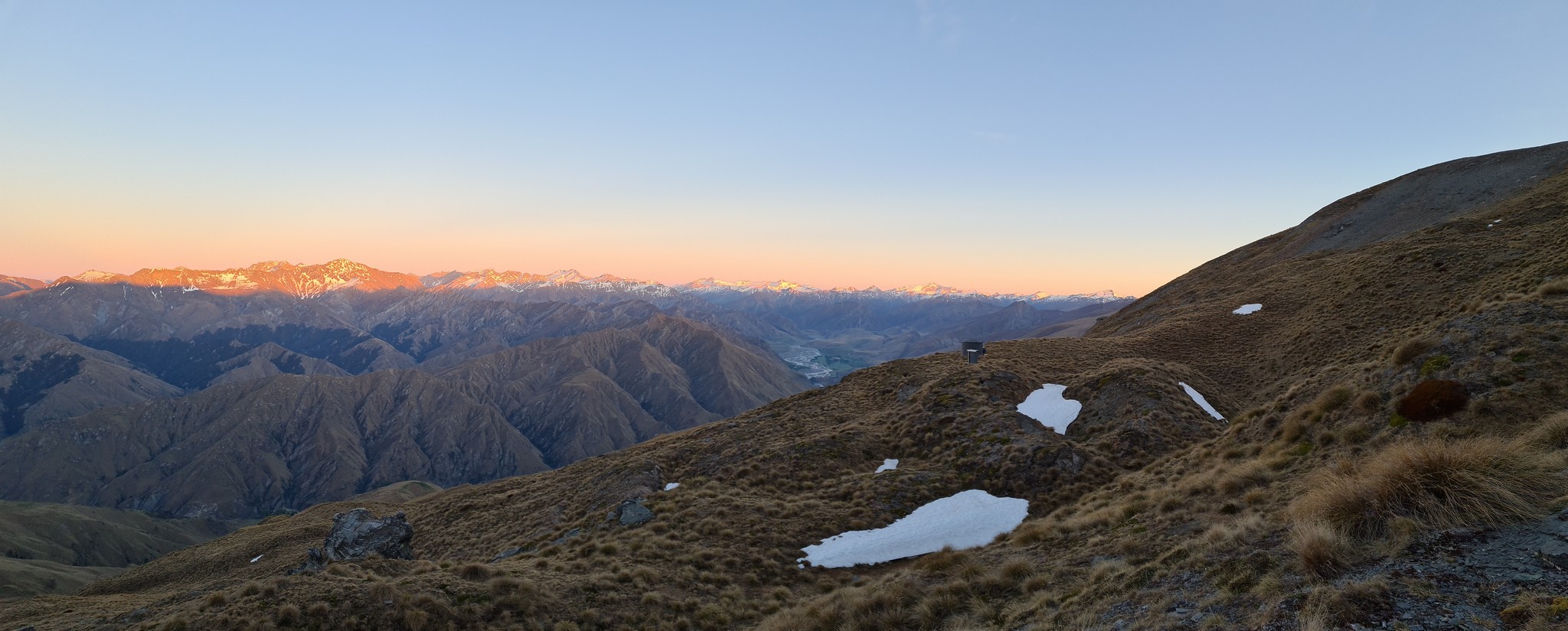
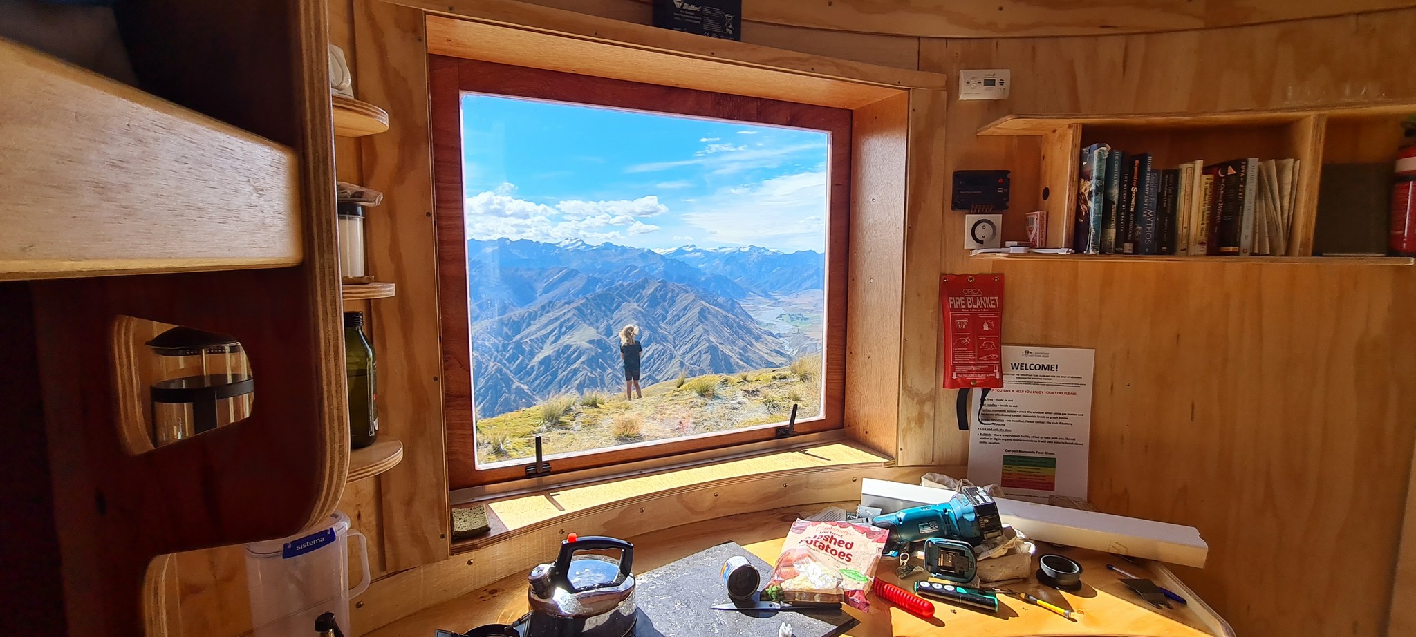
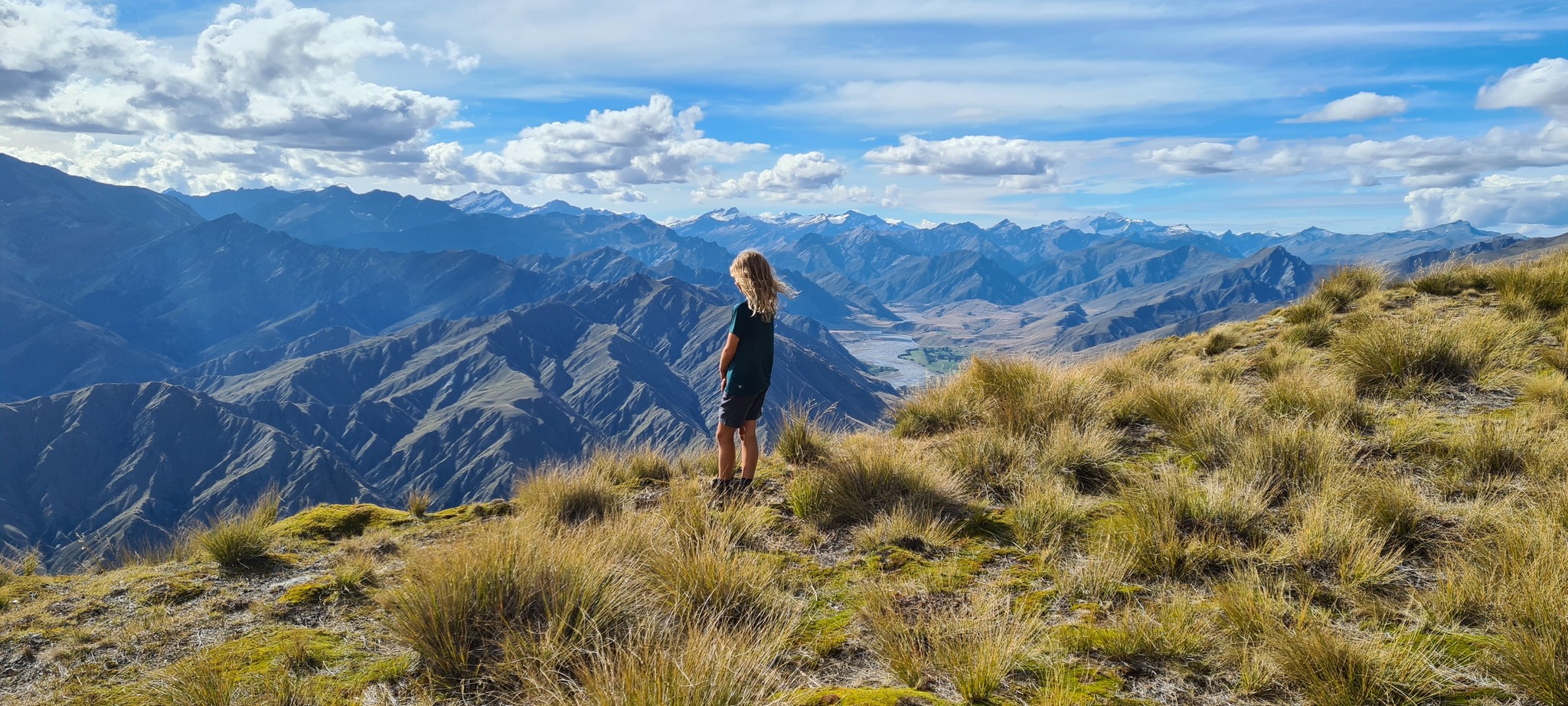
Positioned on a wide ledge below the summit ridge of Vanguard Peak this Turk has stunning views into the Upper Shotover basin with the majestic Southern Alps and Mt Aspiring in the background. Being grey, this Turk is the black sheep of the family – it was a requirement of the resource consent so it blends in with the surrounding rock tors.
Artwork at this Turk is by Beni Martial.


Location
-44.844490, 168.754307
44°50’40.2″S 168°45’15.5″E
View on Topomap
View on Google Earth
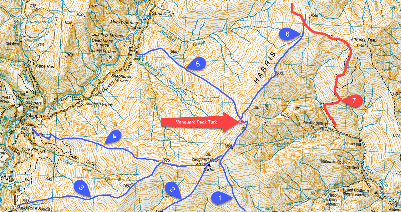
Access (with reference to the map below)
The Mountain Turk Club is only responsible for the Turks and immediate vicinity. The Club is not responsible for the routes to access the Turks that are described below – there are no officially formed tracks or markers, so you must be able to navigate by map and/or GPS. Make sure you are realistic in your ambitions, have suitable equipment for alpine travel and take some kind of locator beacon/PLB.
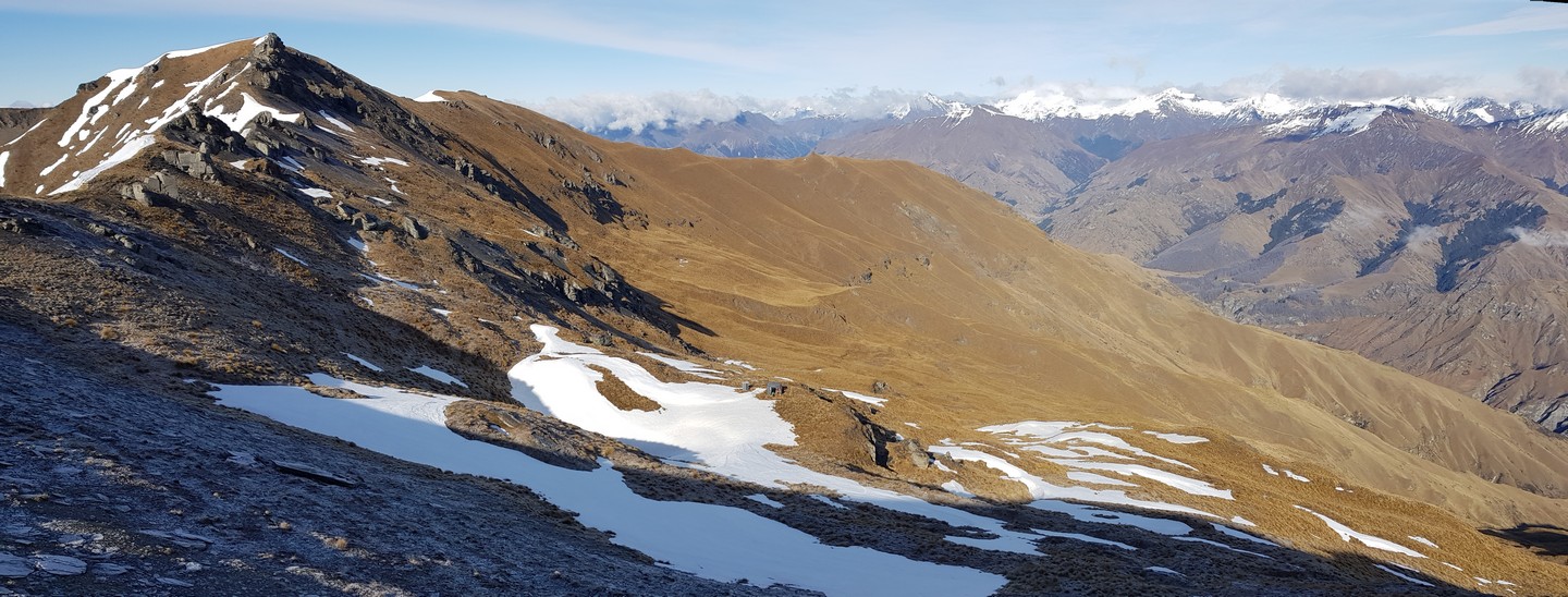
This is the most difficult Turk to find because it looks like a grey boulder and is tucked into an amazing ledge on the side of a mountain.
It is located at 1670 metres altitude 1.2km north east of Vanguard Peak. In foggy conditions it is easy to miss so make sure you have a GPS or map on your phone.
- From Deep Creek take the easiest way up to the ridge north of the Turk/Deep Creek aiming for points 1260 or 1263. From here, continue to the saddle below Mailing Peak and along the wide shelf. Going north (right) from point 1674 is easiest – continue along the ridge to Vanguard Peak. The descent from point 1809 is a pleasant scramble along the ridge crest. Curse the French as you dodge the odd gendarme until you see the Turk 100 metres below the ridge on the west. 3-6 hours
- Walk into Deep Creek via Green Gate Creek passing a cool historic building. Continue up Deep Creek for a kilometre before crossing to avoid the scrub then head up the ridge to Vanguard. 3-4 hours
- Drive up Skippers Road to Maori Point Saddle (about 40 minutes) and park down the short side track to the viewing area. From here follow your nose up the ridge veering to the north to join the east ridge of Vanguard. 3-5 hours
- Similar to 2. but continue along the road over the infamous Blue Slip to the corner with a statue of a young maiden – the road does a hail-Mary bend where you regret all the bad things you said about your mother-in-law. Park on the small side track saying private track (room for 2 cars max). From here it’s a good honest walk up to Vanguard. 3-5 hours
- Leave your car before Dead Man’s Creek then walk down, cross the stream and get ready to grind away 1080 very honest vertical metres. Although shorter than routes 3 & 4 it’s probably no quicker because that little extra bit of road is quite slow and you are limited by lung capacity so distance is not too important. 2-4 hours
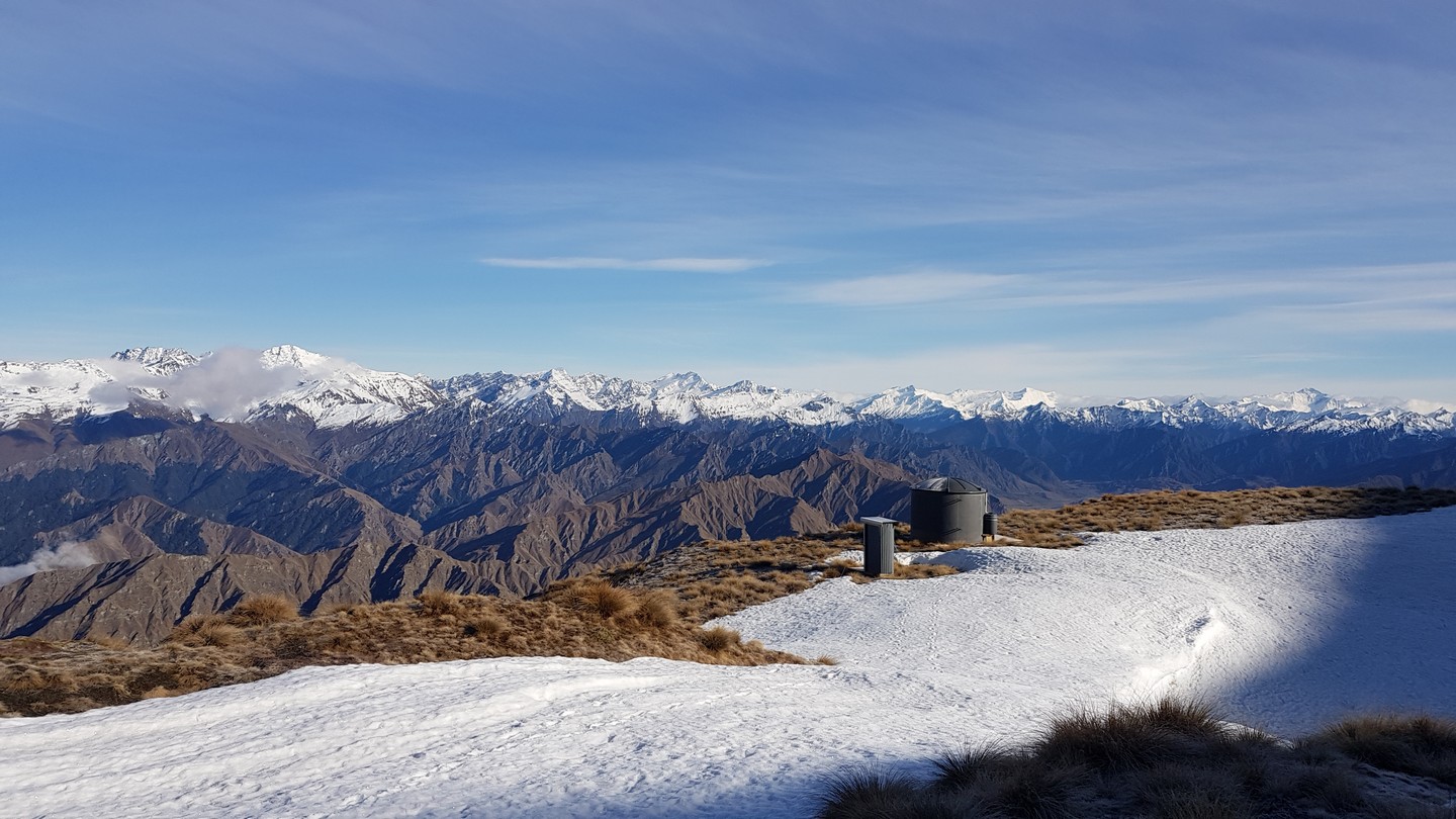
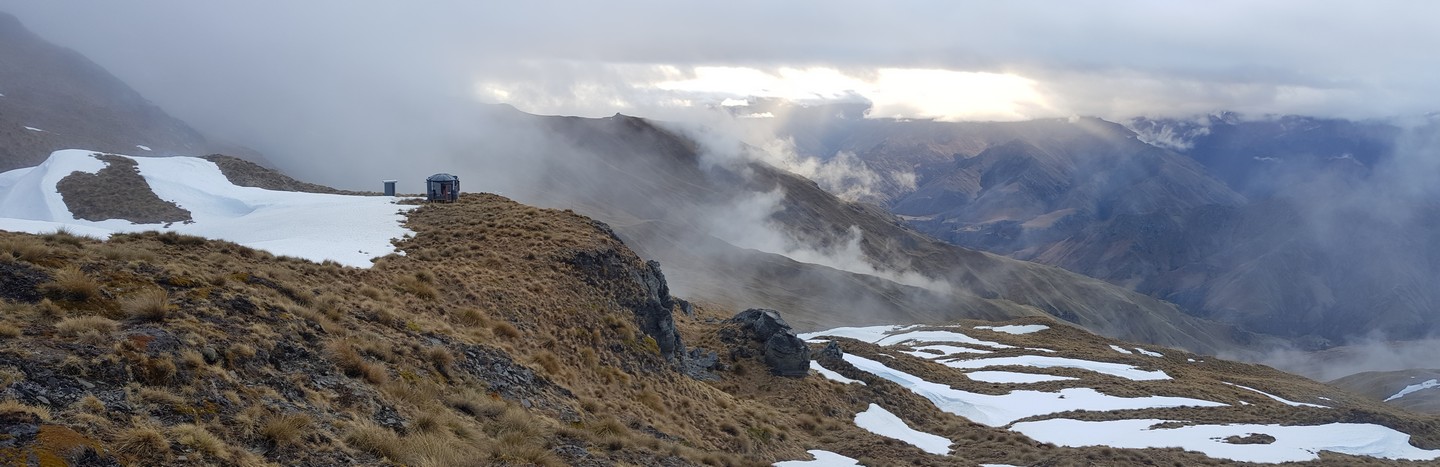
- From Saint Just Turk the easiest walking is along the ridge even though it is a bit up and down. You can avoid the last of the climbing by sidling to the hut but be careful not to miss it by walking below the bluff it sits on top of. 2-3 hours
- The track marked in red is a mountain bike track for Arrowtown, Macetown to Strohles Flat. It is well suited to people with big lungs and a high pain threshold (if you are on a bike). It is a great walking track that will take you to either Vanguard or St Just Turk. Don’t get confused by this track and its markers.