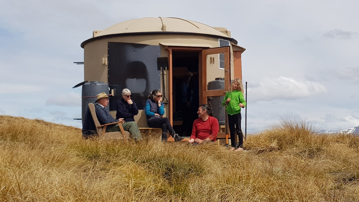
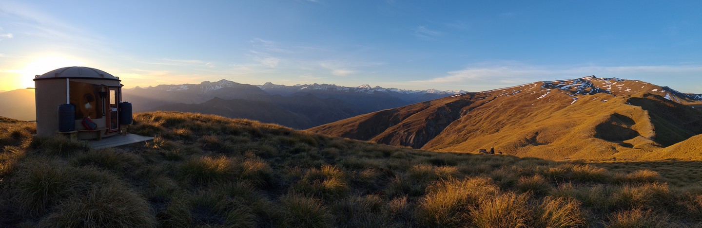
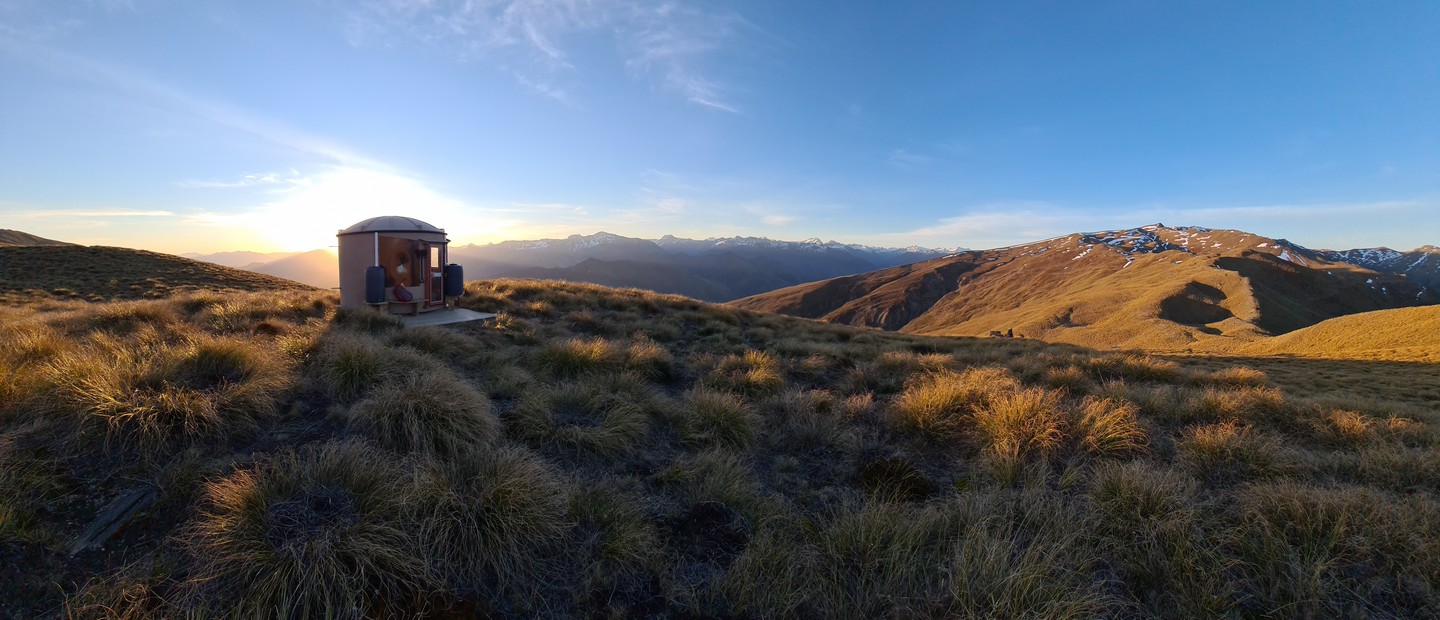
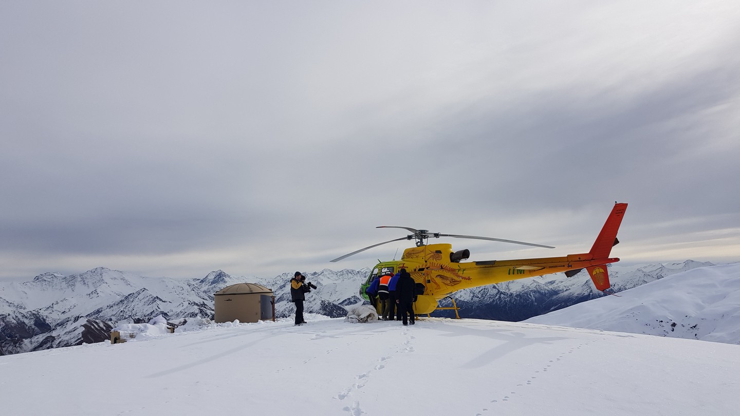
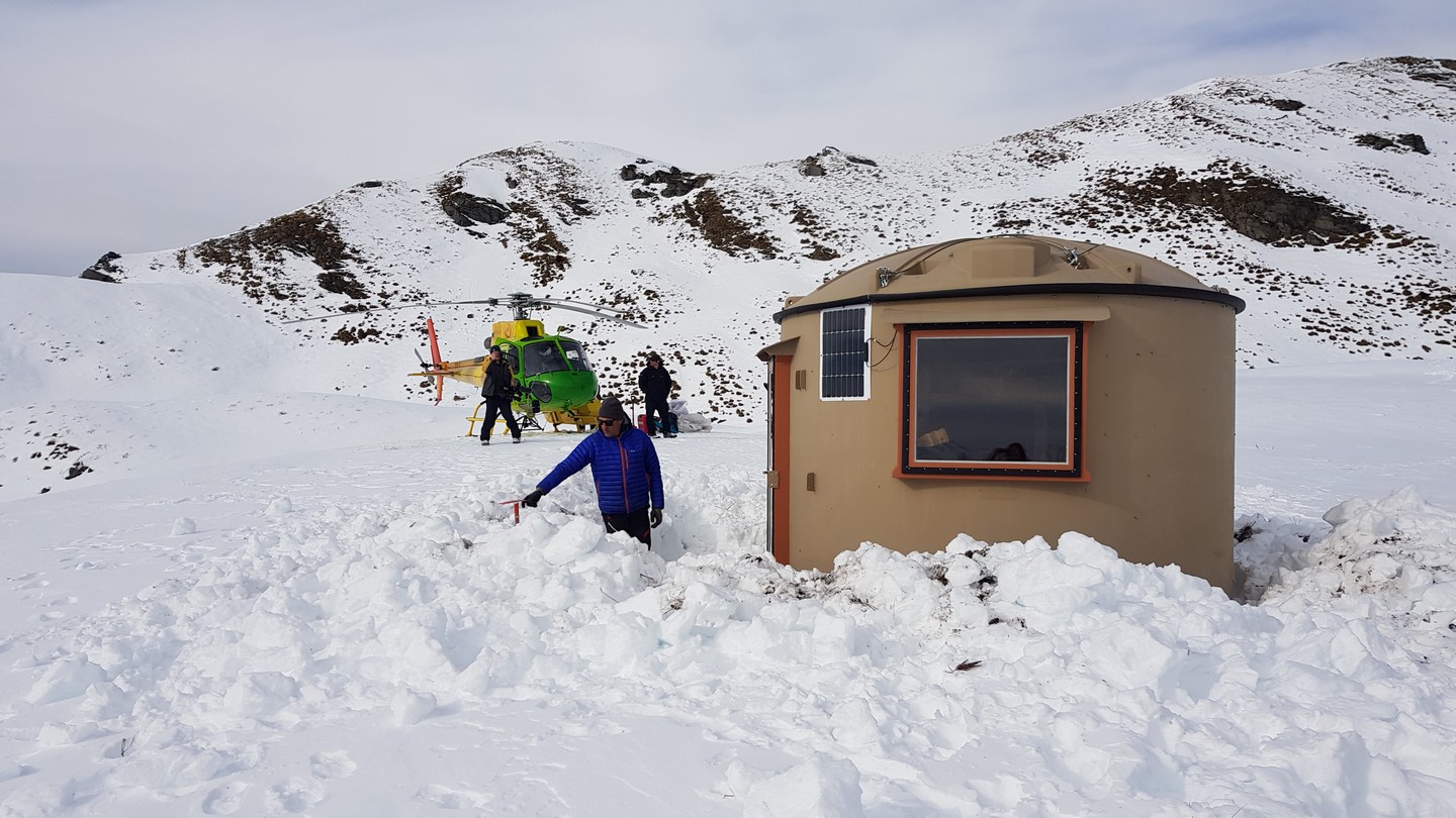
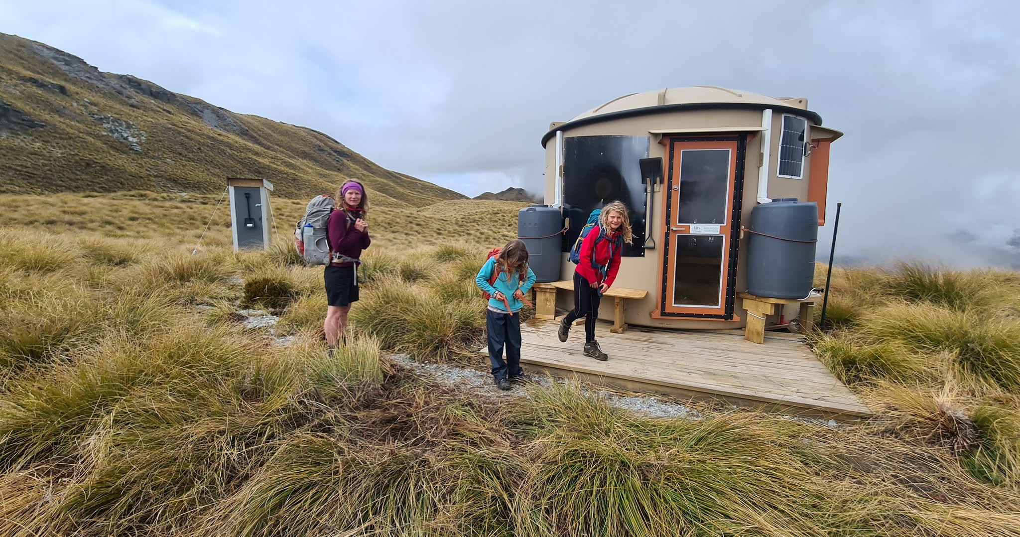
Located on rolling terrain between Mount Hyde and Mount Saint Just at 1550 metres. This Turk is half way along the high traverse of the central Harris Mountains.
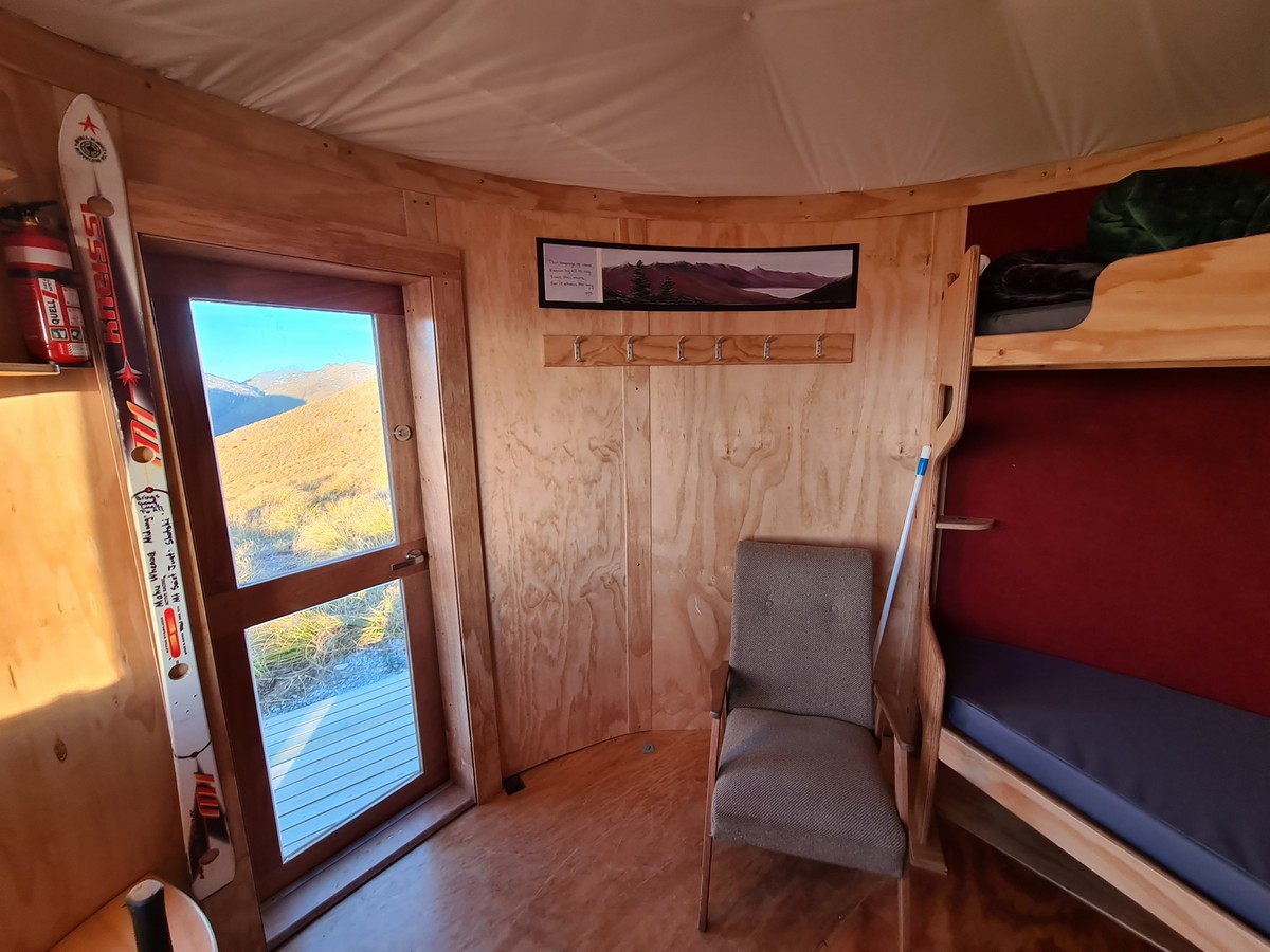
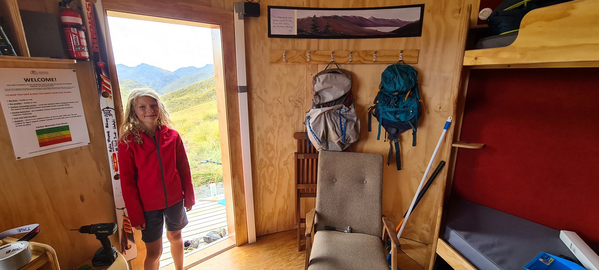
Artwork in this Turk is by Jane Coombs.


Location
44°47’55.0″S 168°47’13.9″E
-44.798615, 168.787201
https://goo.gl/maps/bWvgE2CxqysMy24X6
View on Topomap
View on Google Earth
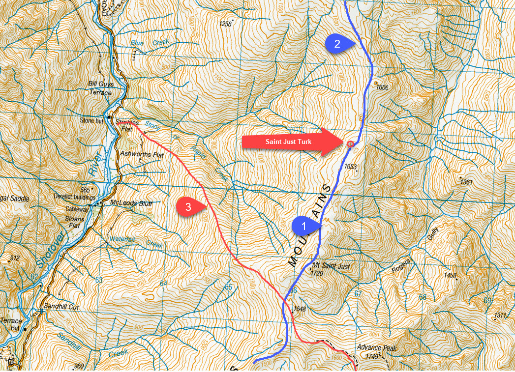
Access (with reference to the map below)
The Mountain Turk Club is only responsible for the Turks and immediate vicinity. The Club is not responsible for the routes to access the Turks that are described below – there are no officially formed tracks or markers, so you must be able to navigate by map and/or GPS. Make sure you are realistic in your ambitions, have suitable equipment for alpine travel and take some kind of locator beacon/PLB.
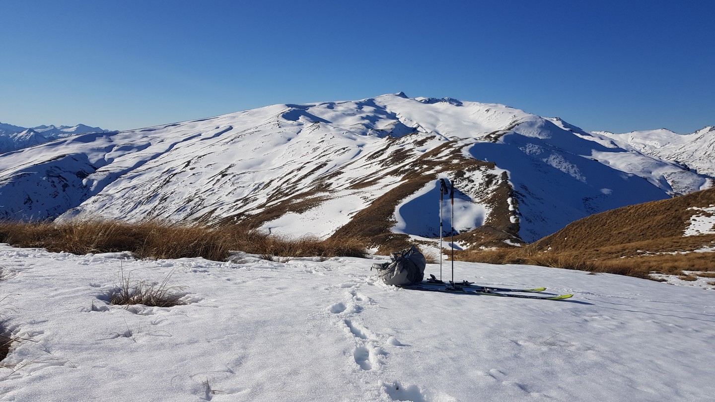
- From Vanguard Turk follow the ridge line. Going over the top of Mt Saint Just is worth the extra effort since the northern slopes are an enjoyable amble. As you approach point 1653 drop down onto a wide shelf to the west of the ridge and continue along to the Turk. 2-3 hours
- Descend the long and gentle slopes of Mt Hyde. It is really quite easy! 3-4 hours from Mt Hyde Turk
- As mentioned in the Vanguard section this track offers a quick climb up towards Mt Saint Just. Your tired legs will suggest you avoid going to the very top by sidling across the head of Stony Creek which is a good idea but worth holding off until the 1500 metre contour. 3-5 hours