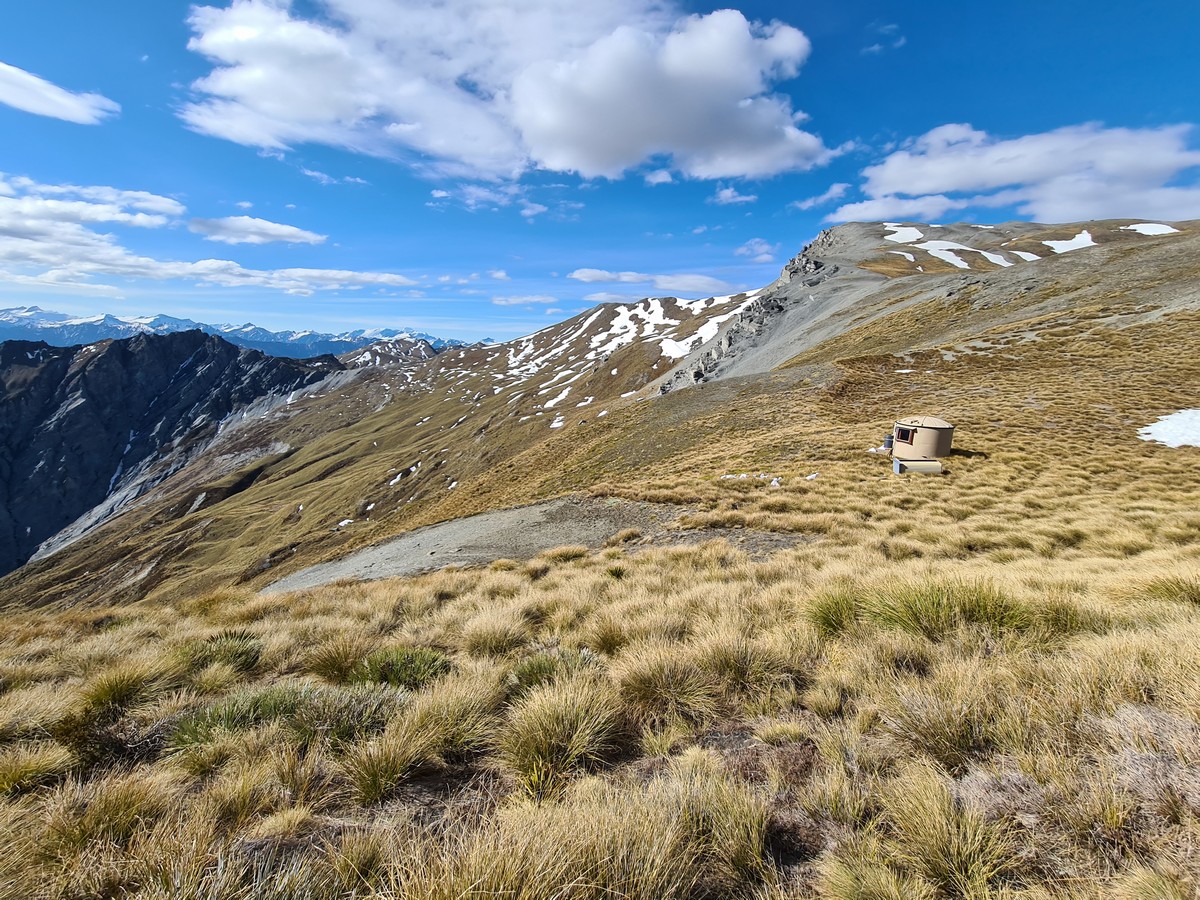
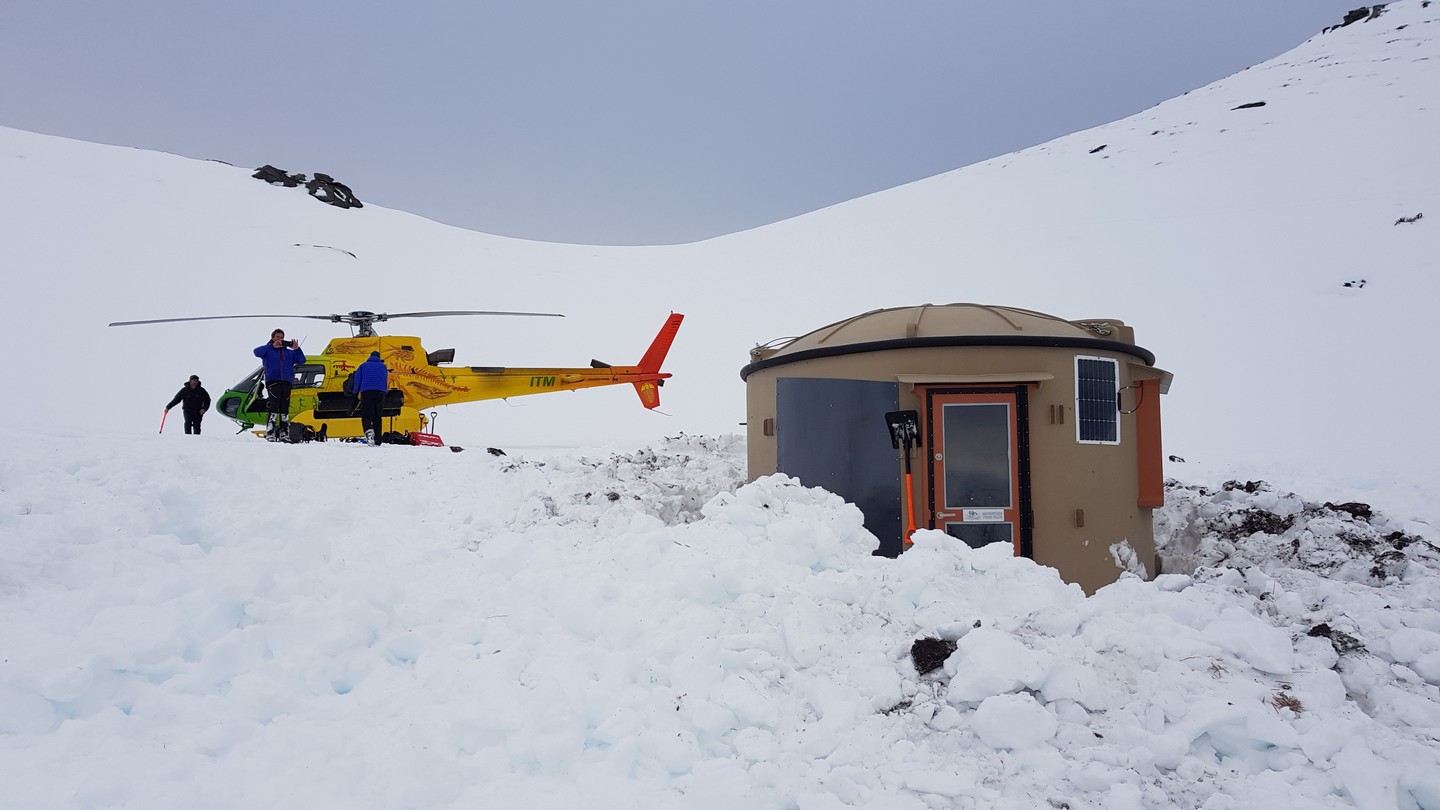
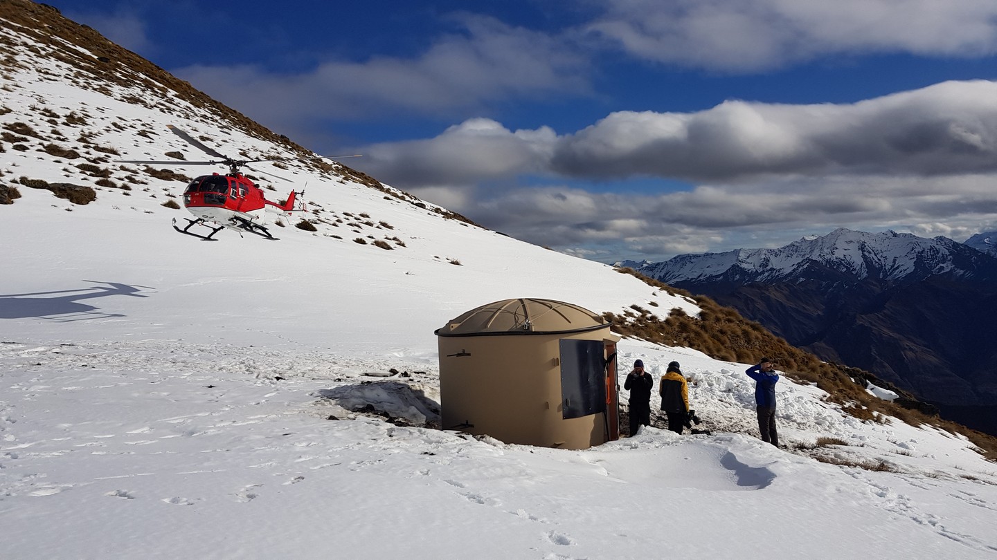
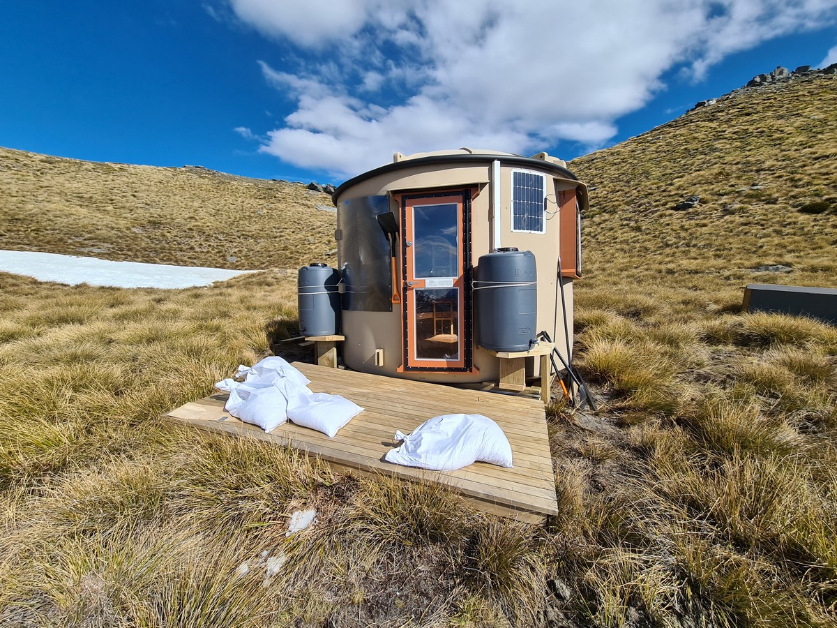
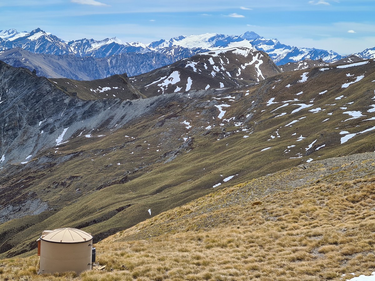
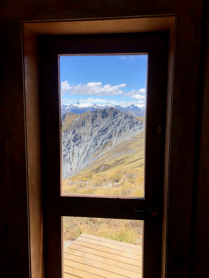
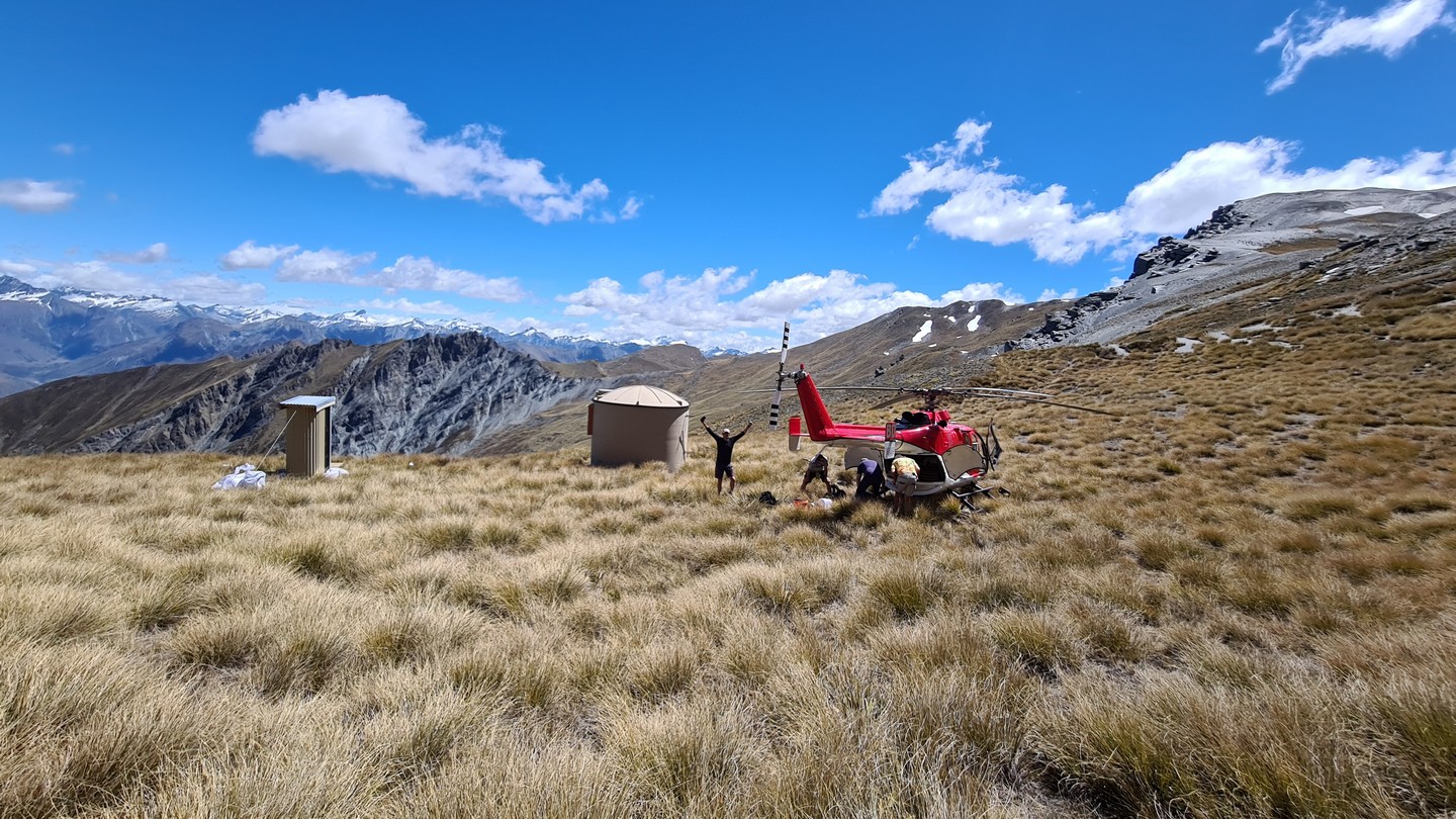
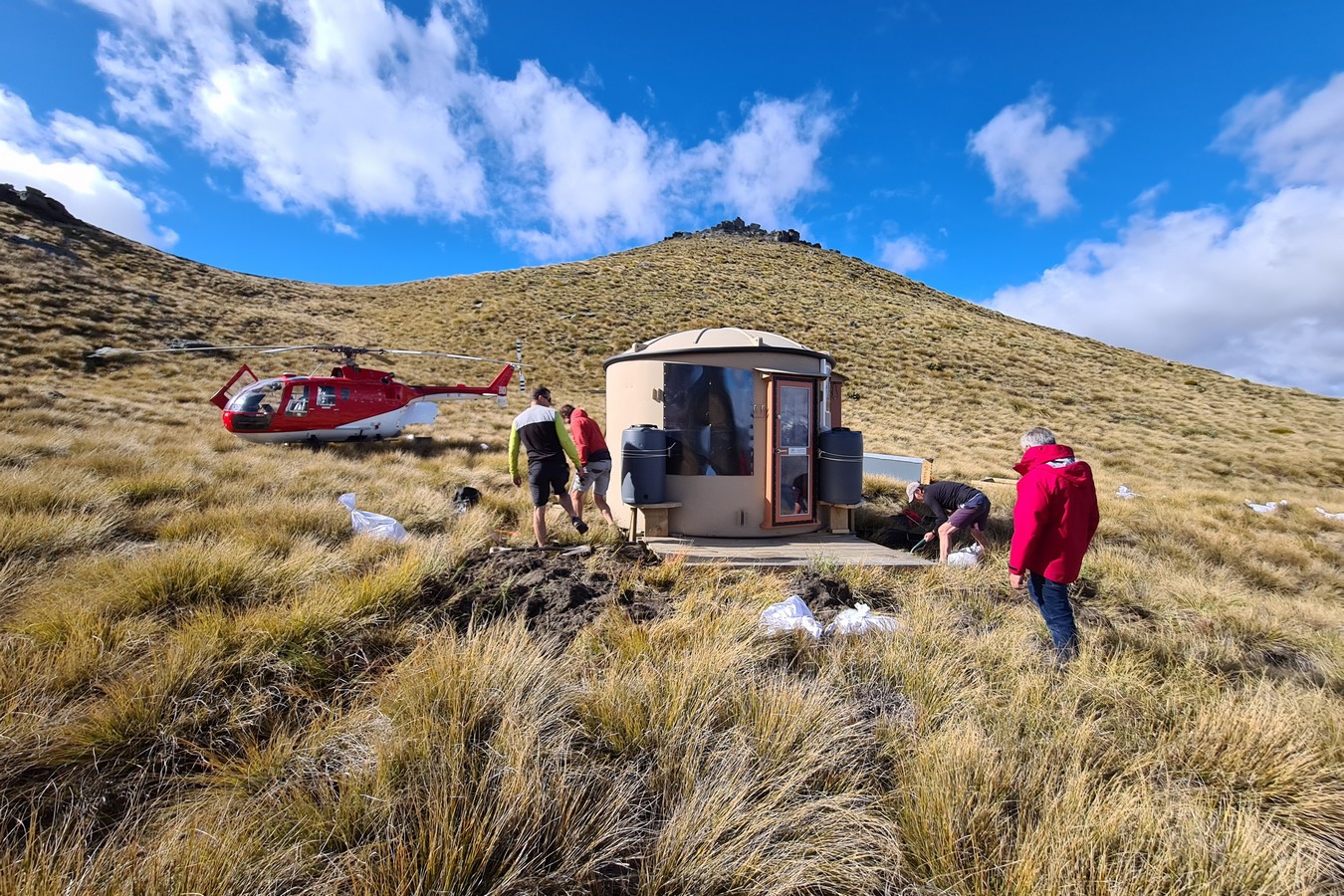
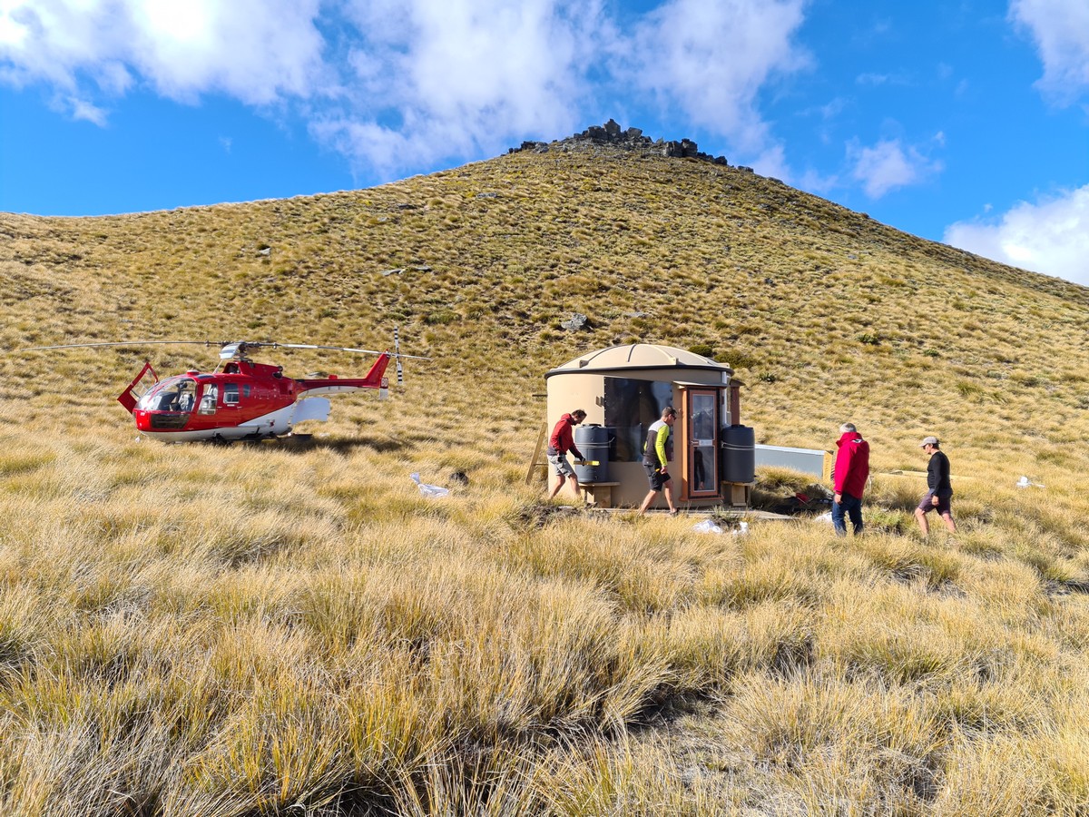
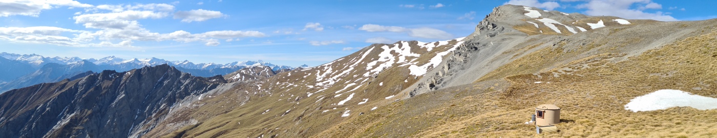
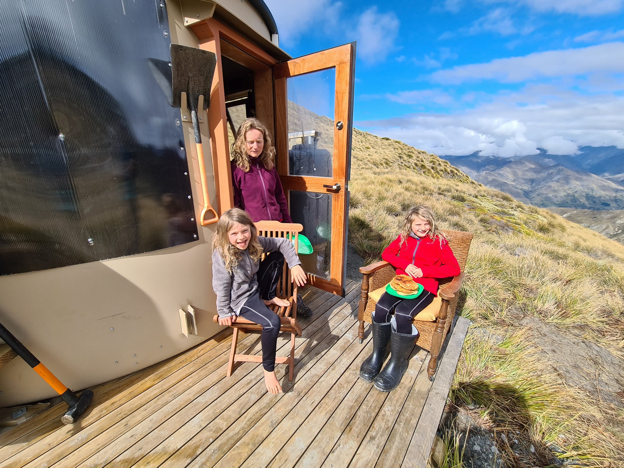
At 1770 metres this the highest Turk on the Mahu Whenua traverse and has spectacular views of the Upper Shotover, Mt Aspiring and other peaks of the Southern Alps. The Turk is located in a small basin just below the ridge and at this altitude is quite exposed to the weather.
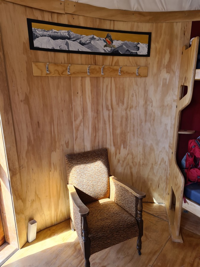
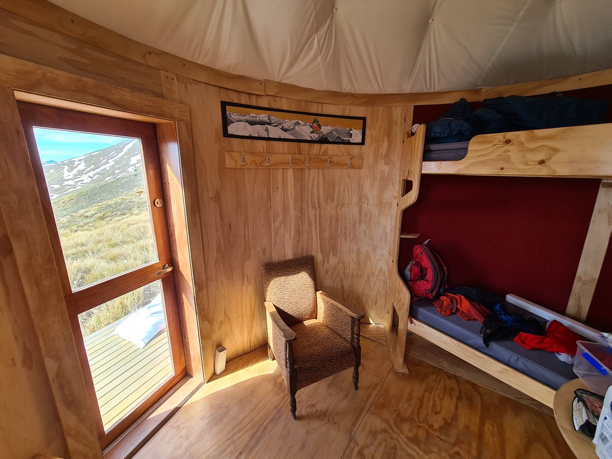
Artwork in this Turk is by Linde Lanjouw.


Location
44°44’36.0″S 168°48’23.9″E
-44.743325, 168.806638
View on Topomap
View on Google Earth
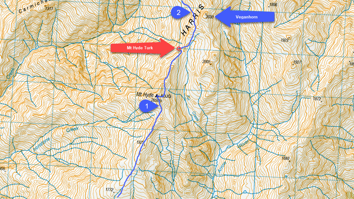
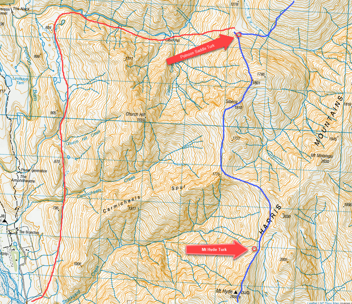
Access (with reference to the map below)
The Mountain Turk Club is only responsible for the Turks and immediate vicinity. The Club is not responsible for the routes to access the Turks that are described below – there are no officially formed tracks or markers, so you must be able to navigate by map and/or GPS. Make sure you are realistic in your ambitions, have suitable equipment for alpine travel and take some kind of locator beacon/PLB.
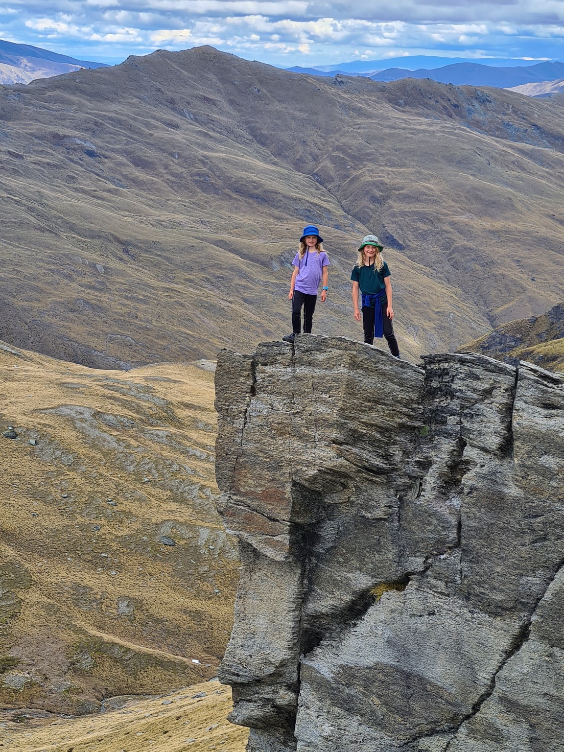
- From Saint Just Turk, climb the gentle south face of Mt Hyde towards point 1925. The ridge narrows and you might suddenly feel like Alex Honnold. Keep your hands in your pockets and backtrack to drop into the basin to the east of the ridge (going west also works but you need to descend a little more). Go to the top of Mt Hyde because it is the highest point in the route, enjoy the view, then back track 100 metres to the saddle south of the peak. Traverse the basins east of Hyde at the 1950 metres height to pick up the north ridge of Mt Hyde. Continue down, dodging the odd gendarme until you see the Turk tucked in a small basin to the west of the ridge. 4 hours.
- Heading north (or coming from Polnoon Saddle) climb to the 1900 metre contour to avoid the steep ground below the Turk. Traverse below point 2030 which is known as Veganhorn (and worth climbing). Referencing the lower map traverse below point 1776 to the east and travel west of point 1727 and generate some heat while climbing over Sibera. Continue along the ridge to point 1801 then descend the broad ridge to Polnoon Turk. 6 hours.
- The red line on the lower map shows an alternate route to Polnoon Saddle starting at Stockyard creek. The land to the west of the red line is Branches Station. There is no need to cross the land (unless you are lazy) and you need to ask permission. No permission is required to follow the red line.The route to the Polnoon corner is quite straightforward with a few scratchy bits of matagouri in the gullies. I didn’t succeed in following the route on the true left of the Polnoon and instead walked up the river (which is a reasonable size). Cabin Hut is more a photo opportunity than a place to stay and the climb up to the saddle is easy. 6-10 hours.