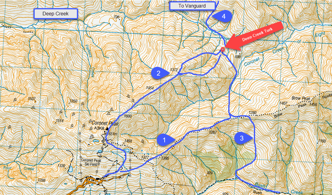
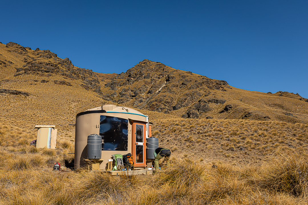
At an altitude of 880 metres this is the lowest Turk on the Mahu Whenua Traverse. You are very lucky if you manage to ski at this altitude! It is located slightly to the west of the Deep/Coronet Creek Saddle on the south/true left of Deep Creek. A mountain bike track is being developed which circumnavigates Coronet Peak and will pass within 100 metres of the site.
Artwork at this Turk is by Jane Coombs.
Location
44°53’53.0″S 168°46’36.8″E
-44.898049, 168.776893
View on Topomap
View on Google Earth
Access (with reference to the map below)
The Mountain Turk Club is only responsible for the Turks and immediate vicinity. The Club is not responsible for the routes to access the Turks that are described below – there are no officially formed tracks or markers, so you must be able to navigate by map and/or GPS. Make sure you are realistic in your ambitions, have suitable equipment for alpine travel and take some kind of locator beacon/PLB.
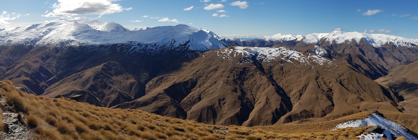
- This is probably the easiest and most enjoyable route. From the Coronet Peak car park walk up the beginners ski run, cross the T-bar ski lift and continue to point 1386. From here follow the Brow Peak track as it ambles over and around a well-featured ridge. At the low saddle half way to Brow Peak, descend diagonally to Coronet Creek aiming to cross it where it widens after a brief narrow section. Climb up the other bank and you will see the turk a few hundred metres in the distance.
- Walk up to the top of Coronet Peak continuing up to the observation building at the very top. Descend down the ridge to point 1372. There are a few bluffs but all are easily avoided. From point 1372 descend to the north (a bit easier) and sidle around to the east, alternately descend the ridge to the east (true right) of the gully. In both routes you will encounter the odd bluff but all can be avoided with a bit of back-tracking and thinking.
- From Arrowtown, walk up Bush Creek then head up a side gully through beech forest and onto tussock aiming for point 1280 about 500m east of the low point in the ridge. Note: I don’t know of anybody including myself who has done this but it looks like it will work. I’ll experiment with my children over Christmas!
- From Vanguard descend to the plateau at 1200-1300 metres and continue along to point 1260. From here descend down towards the Turk.