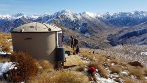
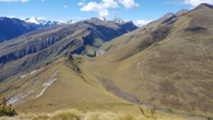
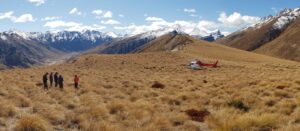
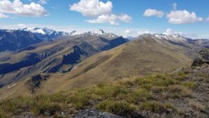
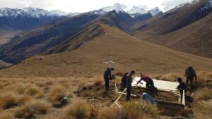
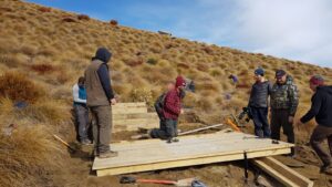
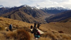
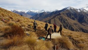
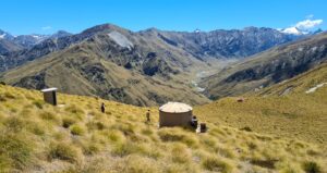
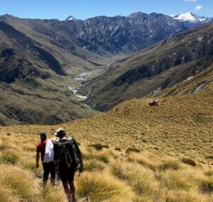
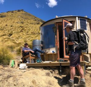
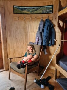
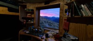
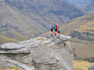
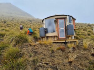
Located on the shoulder of Siberia Peak just above the Motatapu/Polnoon saddle this Turk is in a sunny location with stunning views up into the head of the Polnoon River.
Artwork at this Turk is by Beni Martial.
Location
44°41’41.5″S 168°47’56.7″E
-44.694853, 168.799089
View on Topomap
View on Google Earth
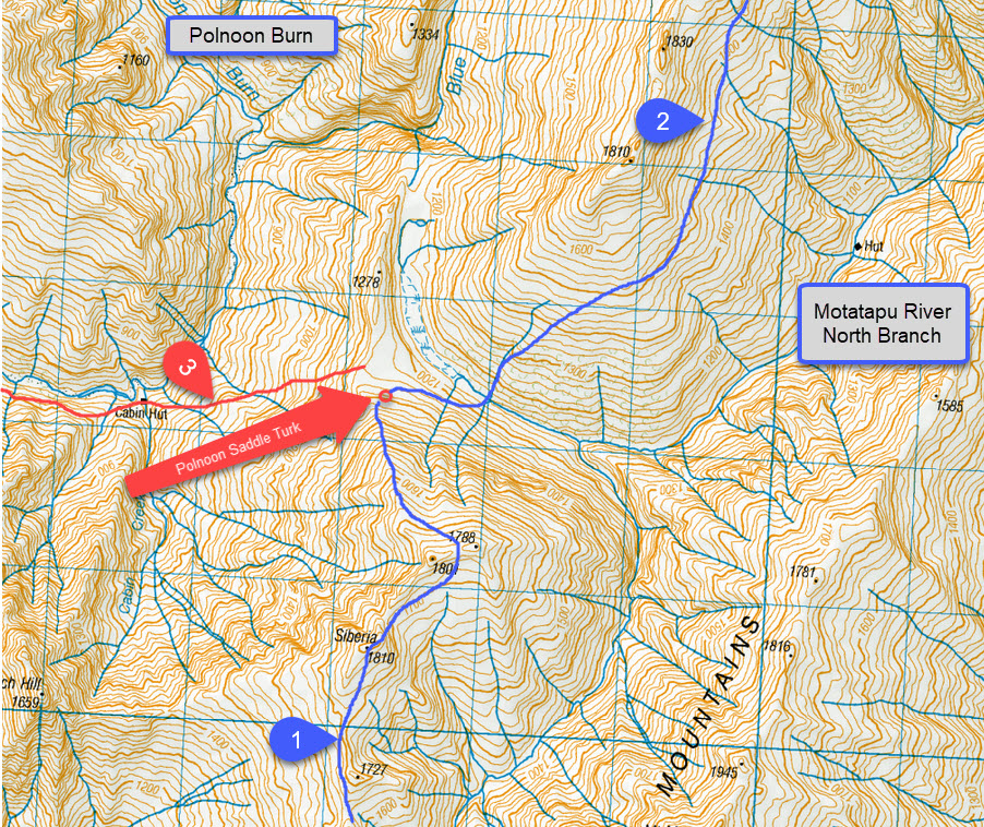
Access (with reference to the map below)
The Mountain Turk Club is only responsible for the Turks and immediate vicinity. The Club is not responsible for the routes to access the Turks that are described below – there are no officially formed tracks or markers, so you must be able to navigate by map and/or GPS. Make sure you are realistic in your ambitions, have suitable equipment for alpine travel and take some kind of locator beacon/PLB.
- To access Mt Hyde, climb up the broad ridge behind the Turk to point 1801. It is easier and more enjoyable to climb over Siberia than try traversing. See the note for the Mt Hyde Turk; the key issue is to climb up to 1900 metres below Veganhorn to avoid the steep slopes below Mt Hyde Turk. 6 hours
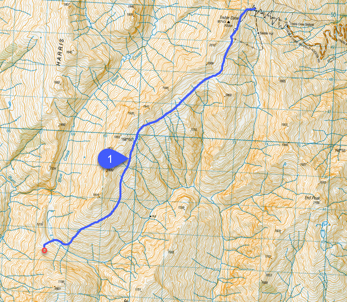
- The route to Treble Cone involves a steady climb to the top of the ski field walking between the 1800 and 1900 metre contours. Avoid going too low since you will end up in steep gullies. Coming from the skifield end the route is more obvious but in the reverse direction the temptation is to go too low. 6 hours
Treble Cone Access
In summer you are able to access the Treble Cone car park. You need to complete their Health and Safety process by going to https://about.zeroharm.app/ registering yourself, searching for Treble Cone and completing their induction process. Once complete you will be given a digital code to get through the access gate. Please take this process seriously and respect other people’s Healty and Safety concerns to ensure we maintain access.
