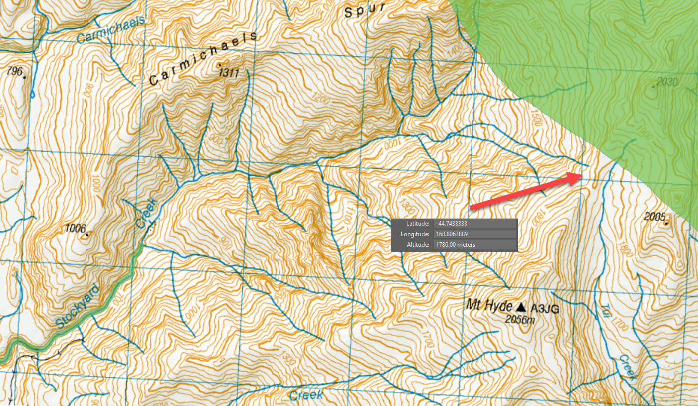
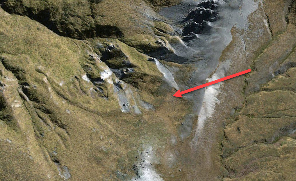
Mount Hyde Turk
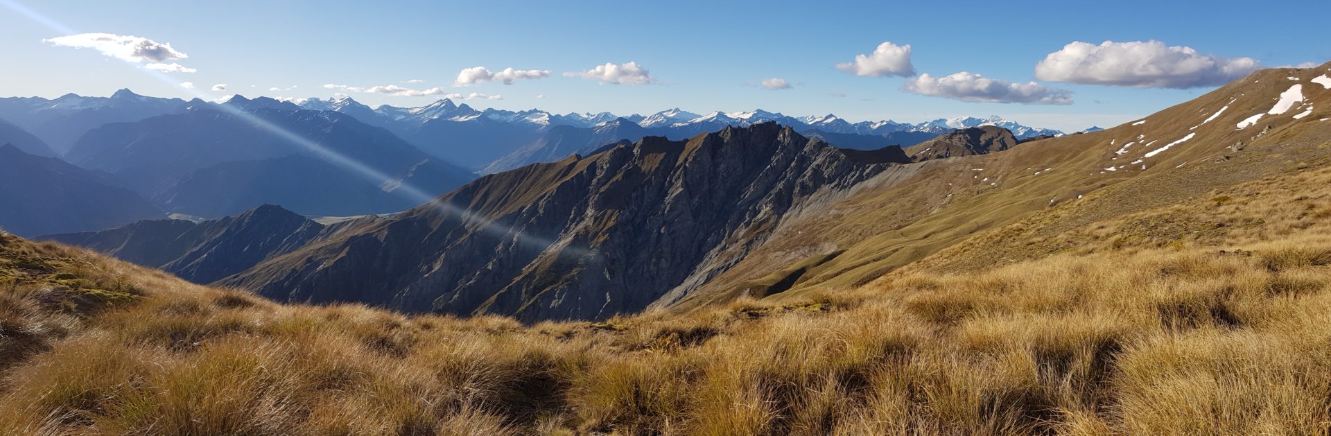
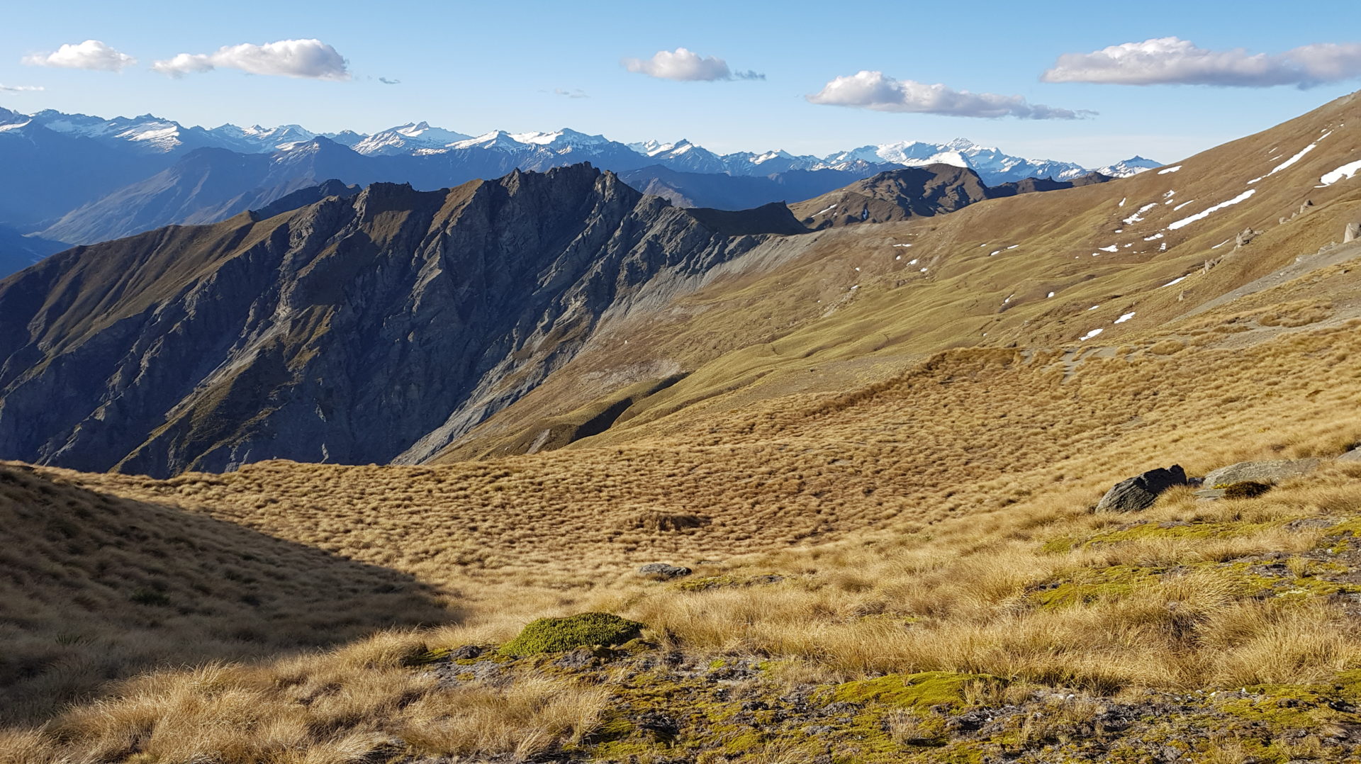
Located in a basin just below 1800 metres north of Mt Hyde this is an amazing site looking northwest towards the Southern Alps. The peaks of Mt Earnslaw, Aspiring, Lydia, Edwards and many more are clearly visible.
At this altitude the Turk needed to be on a north facing slope with a bit of wind otherwise it would get buried in snow. By positioning the Turk at the lip of the basin there is enough wind action (especially during storms) to ensure that snow does not accumulate around the hut. This is a very similar aspect to the hut in the Crown Basin.